This isn’t specific to WRA or Metocean but one of my other favourite things in Python is the breadth of support for Geospatial Analysis. I know there will be a lot of people who also find it very useful for the work we do to analyse and view things on maps etc.
Whitebox Geospatial are a company that makes tools(over 460 open-source tools) for processing and analyzing geospatial data of all kinds. I have known them because of their Open Source Core software, which can plug into ARCPro and QGIS and do things that otherwise take a lot more effort or cost a lot more money.
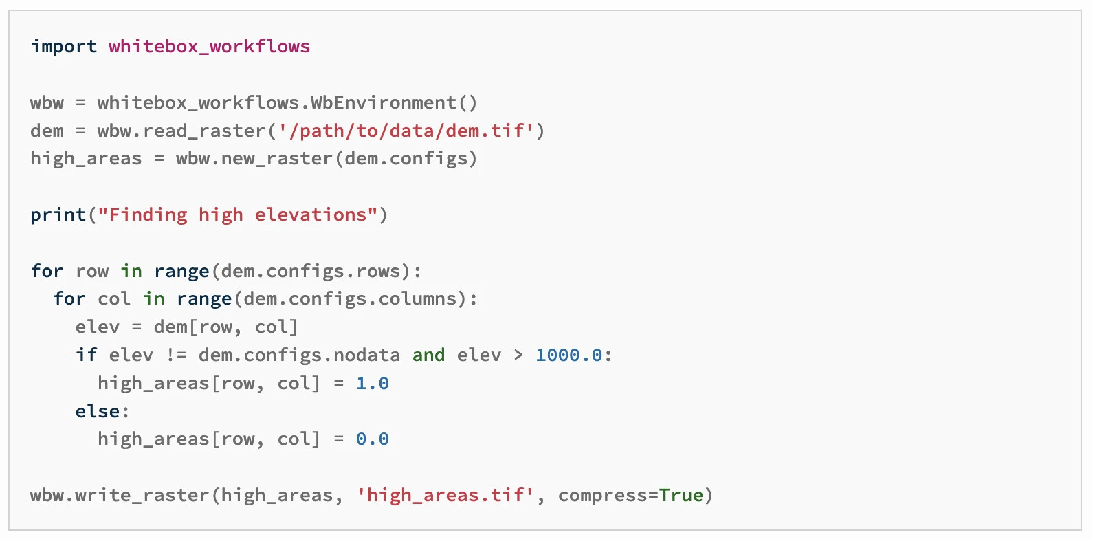
Today, however, they have just released Whitebox Workflows which looks really interesting. Unlike the Open Core which is run via the command line , the Python Workflows can be used directly in your code to perform over 400 processes and can also replace the Raster Caluclator from QGIS or ARCPro which could be useful. This isn’t open source but does only cost $10 per licence - so it’s way more accessible than a lot of other GIS Software.
The functions that can be run are here.
An example from the docs below shows the use of WhiteBox Workflows for Python as a Raster Calculator: